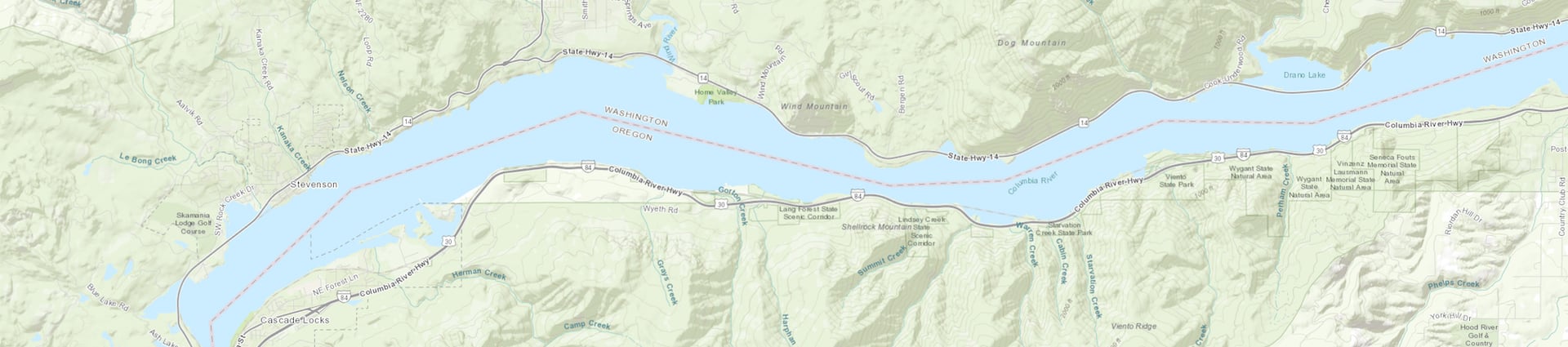
Encompassing 292,500 acres, spanning two states, and running from the mouths of Sandy River to the Deschutes River, the Columbia River Gorge is unique in both its natural and cultural history, as well as its designation as a National Scenic Area.

Downloadable Maps (.pdf)

Beacon Rock State Park

Cascade Locks Marine Park

Cascade Locks To The Dalles

Cascade Locks Trails

Columbia Gorge Campgrounds

Columbia Gorge Wine Touring

Columbia River Gorge Bike Map

Deschutes Recreation Area

Deschutes River Campground

Hiking Loops Near Multnomah Falls

Historic Columbia River Highway

Hood River Fruit Loop

Mt. Hood Scenic Loop

Portland To The Columbia River Gorge By Bike

Tooth Rock Segment Of The HCRH

Troutdale To Cascade Locks

Twin Tunnels Segment Of The HCRH

Troutdale to the Dallas map